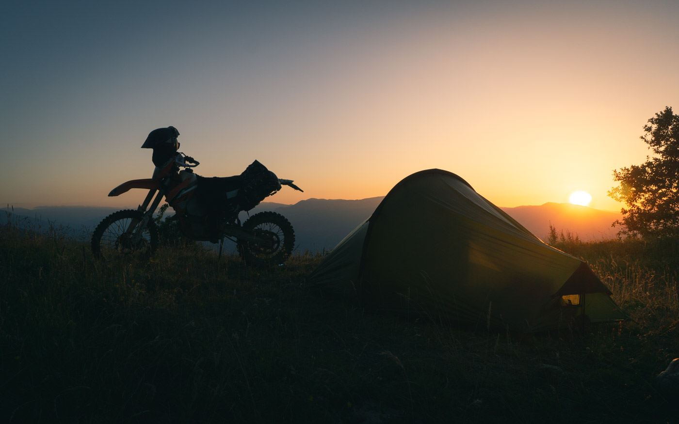
The stock KTM 500 EXC is 31.5 kg lighter than the stock KTM 690 Enduro R. The respective weights are 111.5 kg and 143.0 kg according to the manufacturer.
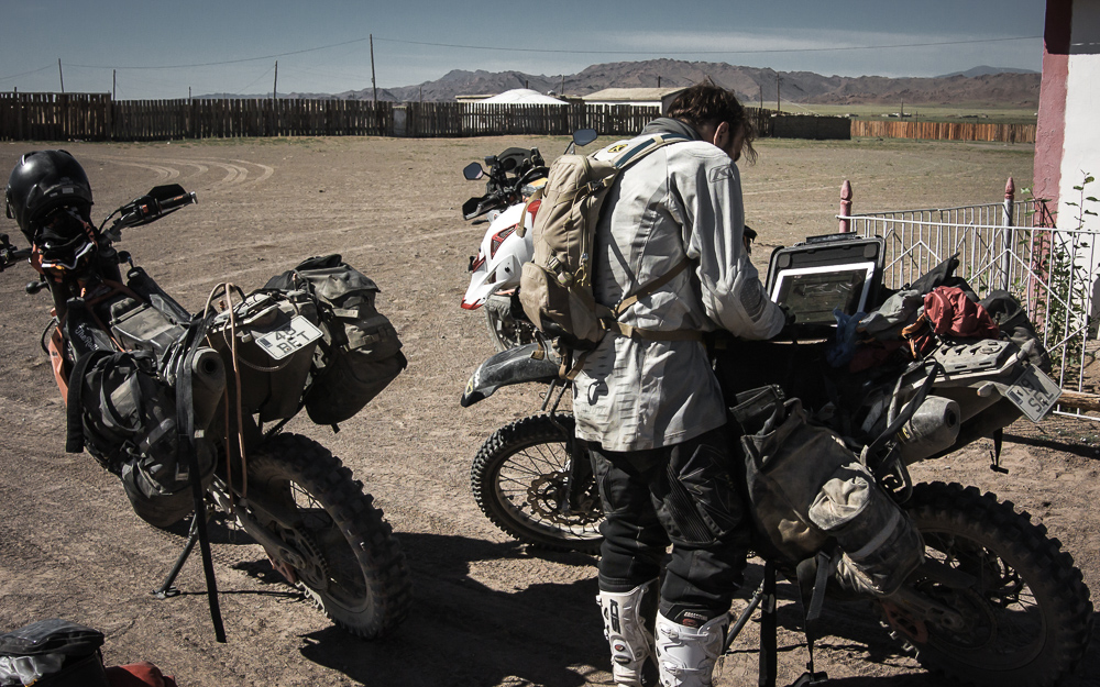
As the bike slims down, so should everything else that goes on the bike. Luggage racks, fuel tanks, bash plates and luggage all add to the gross weight of the vehicle. So I’ve been thinking a lot about what really needs to be onboard, and if the necessary items could not be smaller or lighter.
I love my trusty Macbook Air, but it’s large and heavy. The Macbook itself is not too bad, but everything that goes with it adds up to weight and volume: a waterproof Pelicase, 220V charger and cable, 12V charger and cable. The upside is that it enables good communication, route planning software and a platform for photo QA and editing.
For the next season the Macbook Air will be replaced with a tablet. Namely a Samsung Galaxy Tab 4 7.0. Getting it set up has not been exactly easy, but it seems that it might work out. The biggest issue has been sending files back and forth between the tablet, camera and Garmin navigators. I was disappointed to find out the tablet does not support USB OTG i.e. connecting e.g. a card reader into the tablet. There seems to be a workaround though in the form of a WiFi card reader which should connect to the tablet. We’ll see in a couple of days.
Photo editing for update purposes will still be handled with Adobe Lightroom. IMHO it’s the best generic photo editor around and the Android version seems to work fine.
As for route planning, I’ve mostly used Garmin Basecamp, Google Earth and Bing satellite maps. None of those will work as a route planner on a tablet, so I looked into other options for tablet use.
If you’re on an Android you’ll have access to a real gem of an app: Soviet Military Maps. It has detailed Soviet Military Topographic Maps, both Google and Bing maps and satellite imagery and Open Street Maps among others. While the actual Soviet Military Maps may be outdated, I’d say it’s not a problem for the adventure enduro rider, as we seek the undeveloped corners of the world. The mountains and forests of remote places have not changed much in the last few decades.
Another interesting App is PathAway, which has a very handy route planning UI. For a tablet that is. They offer a fifteen day trial version on their site in case you want to check it out. PathAway is available both for Android and IOS, but the trial version is only available for Android.
Soviet Military Maps
https://play.google.com/store/apps/details…
Pathaway
https://play.google.com/store/apps/details…
PathAway Android Trial version
http://pathaway.com/PWAndroid.php
Leave A Comment